-40%
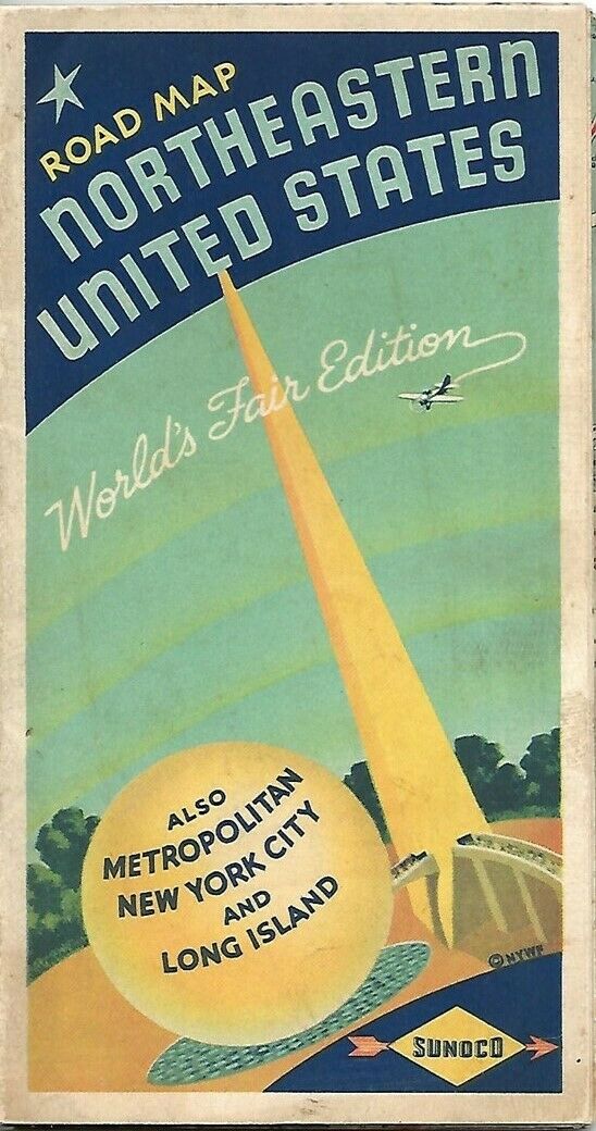
1939 SUNOCO Road Map NEW YORK WORLD'S FAIR Long Island Manhattan Northeast US
$ 13.19
- Description
- Size Guide
Description
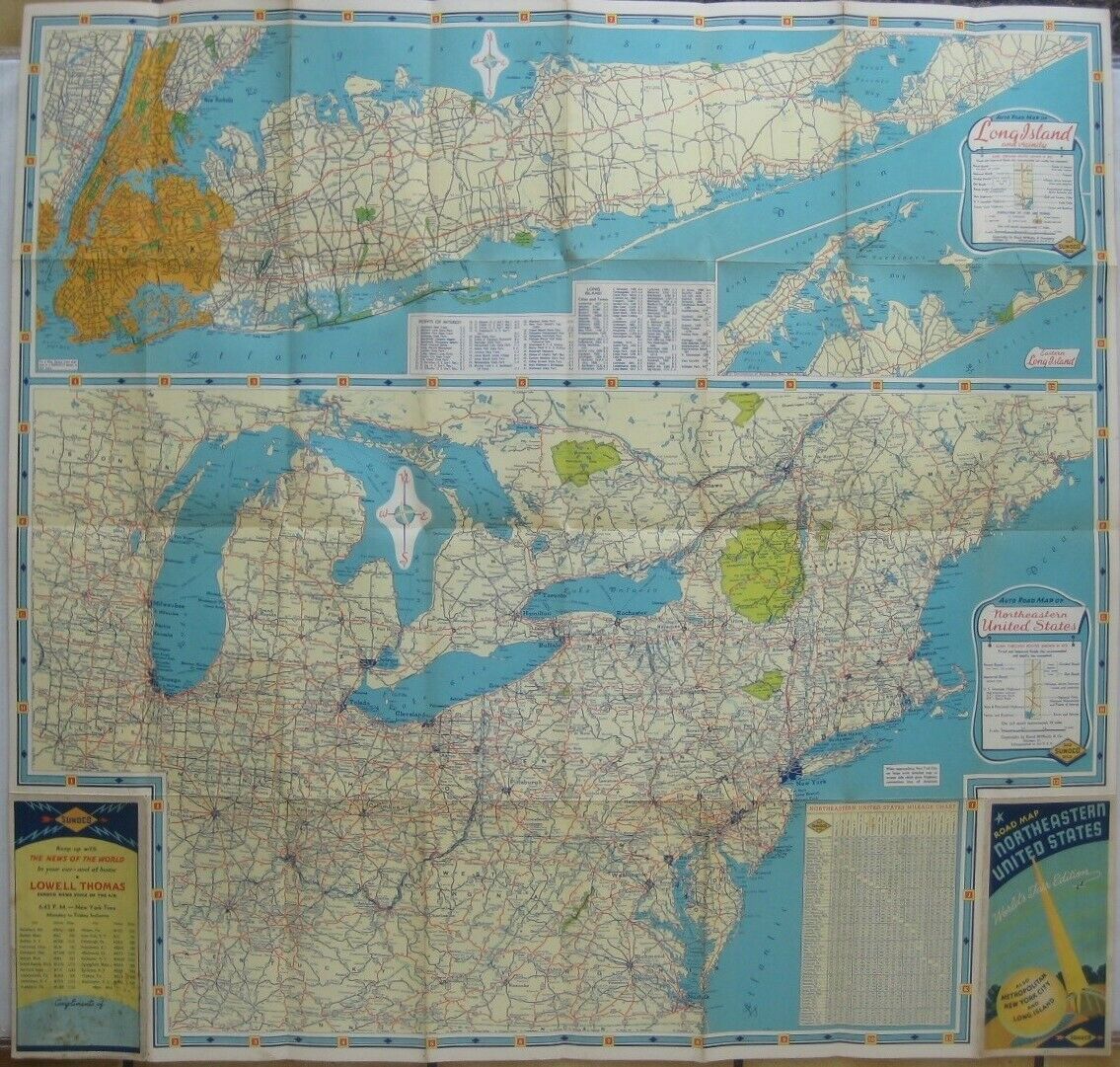
Handsome large-format fold-out 1939 Sunoco World's Fair Edition road map of the northeastern United States, printed more than 81 years ago.This map opens to a generous 29" x 28" and has great detail on old highway alignments, with cartography by Rand McNally.
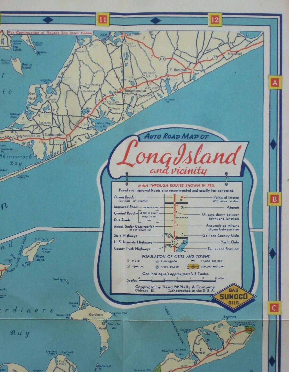
The map of the Northeast is on one side, with a large inset of Long Island and a mileage chart.
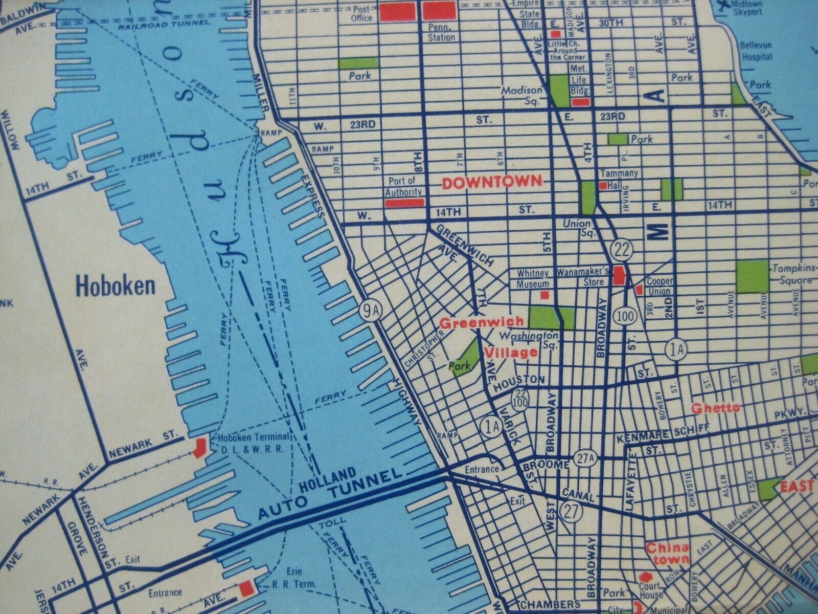
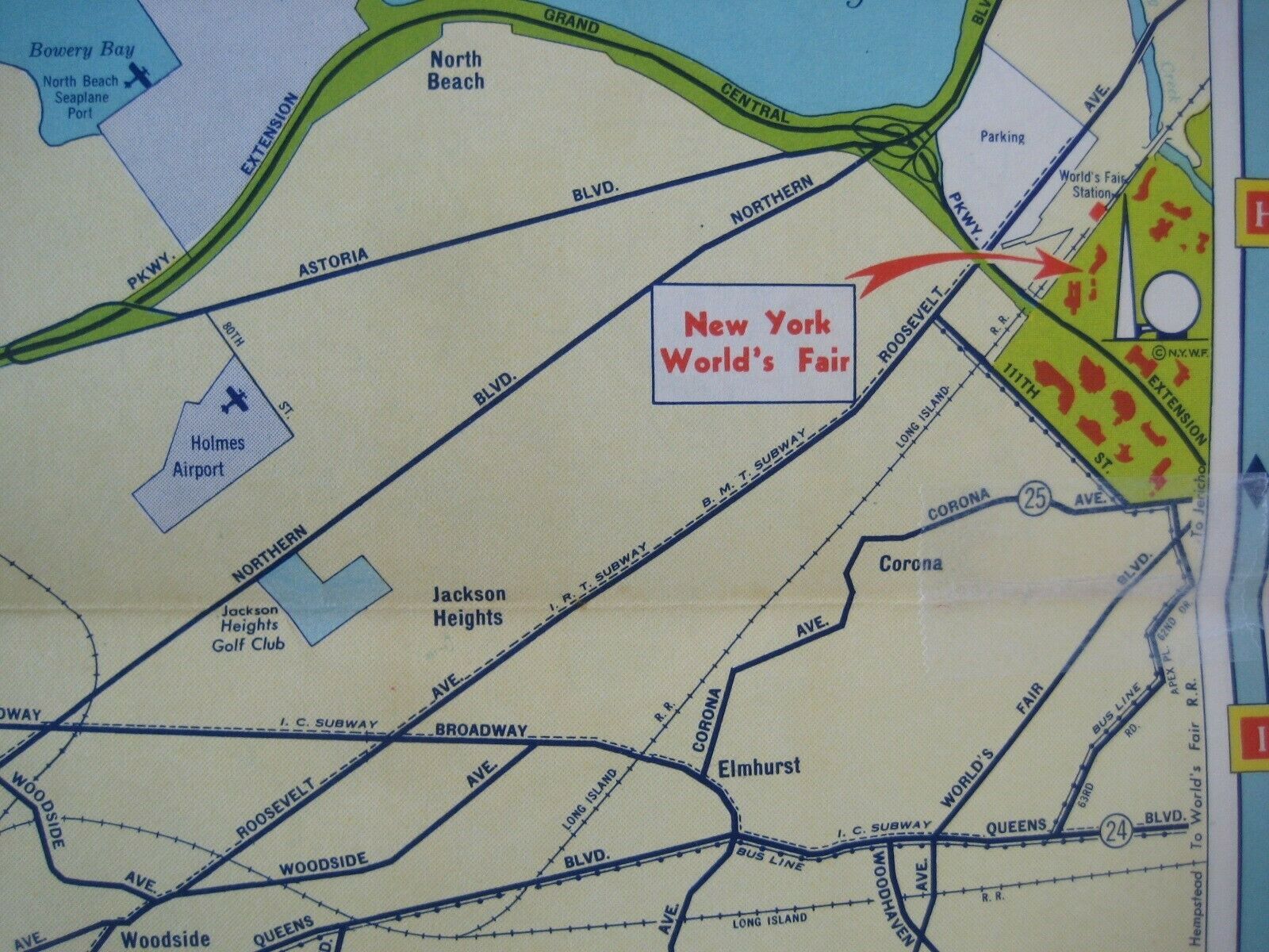
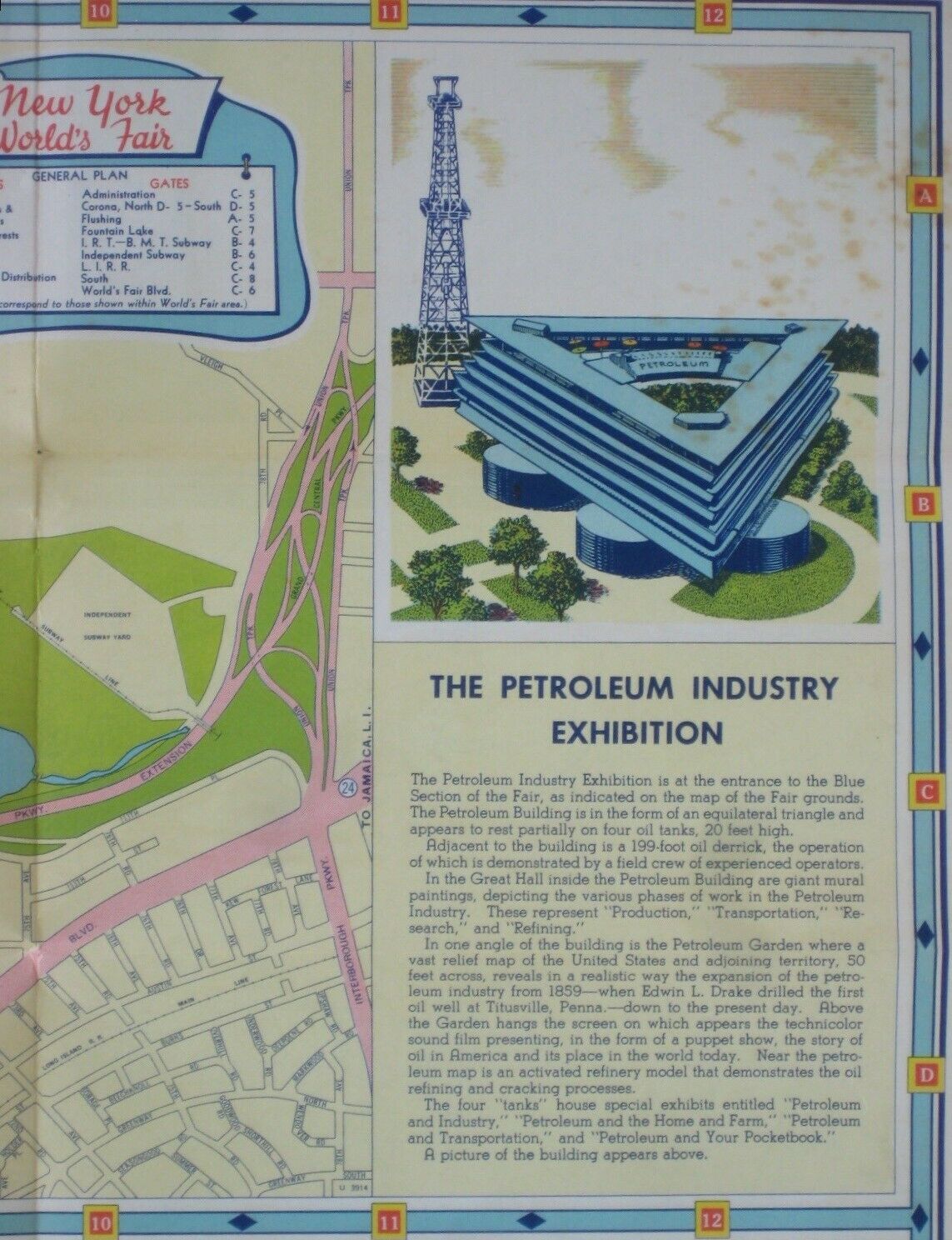
There are three maps on the other side: [1] Metropolitan New York City; [2] Manhattan and the Main Auto Routes to the Fair, which labels the Queens-Midtown Tunnel as "under construction;" and [3] The New York World's Fair Grounds, with an illustration of the Petroleum Industry Exhibition.
This map was published by the Sun Oil Company in 1939 to promote its Sunoco gasoline and motor oil. It is dated by the code number in the lower margin: U.3912.
The artwork on the front cover shows a skywriting airplane and the World Fair's distinctive Trylon and Perisphere.
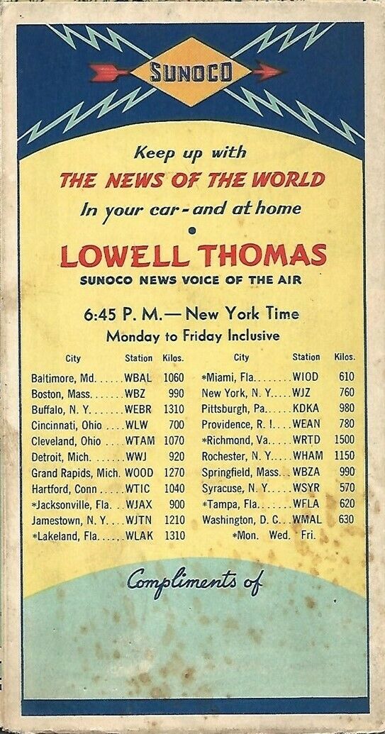
On the back cover there's a schedule of radio broadcasts by newscaster Lowell Thomas, with station call letters.
Condition:
This map is in very good condition, bright and clean, with
no
rips or tears. There's some faint spotting on the back cover; otherwise there are no marks or writing on the map. Please see the scans and feel free to ask any questions.
Buy with confidence! We are always happy to combine shipping on the purchase of multiple items — just make sure to pay for everything at one time, not individually.
Powered by SixBit's eCommerce Solution
